The Android Team Awareness Kit (or Awesome Team Awareness Kit for non-Android versions), ATAK for short, is a software driven technology originally developed by Air Force Research Laboratory (AFRL) scientists and engineers.
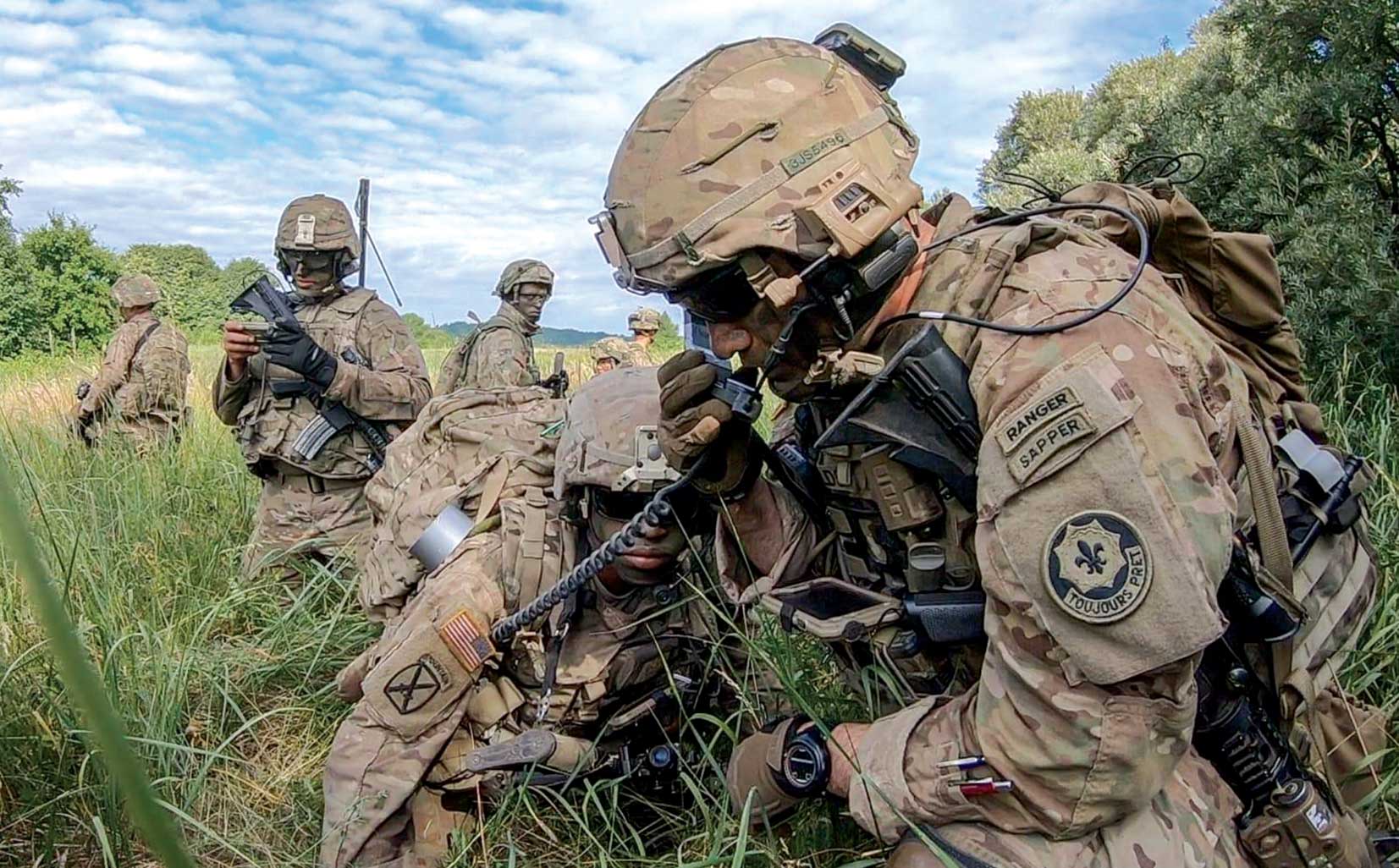
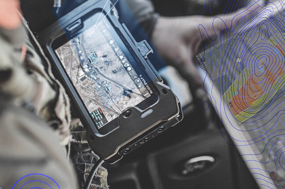
You’ve probably seen photos of military personnel using a chest-mounted tablet computer or smart phone and wondered what software or app they were using. Most likely it was ATAK. Over the past several years of using and refining in real-world combat zones by Special Operations forces and warfighters, this technology package has been adapted to fit the missions of local, state, and federal agencies. It is also at the heart of the US Army Nett Warrior system.
The combat version to the technology, referred to as Android Tactical Assault Kit, is used for tactical information feeds, various analytics and visualizations. Tactical uses include mission planning, situational awareness, mission execution, and call for fires solutions such as close air support, land or naval artillery or missiles.
When the technology is used in non-military operations such as law enforcement, event security, forest fires, or hurricanes, AFRL deploys a civilian version that they can even license to industry or local governments for their own use. During natural disasters such as Hurricane Florence, which paralyzed parts of the East Coast in September 2018, the software provided invaluable, life-saving, real-time mobile capabilities such as live video feeds, personnel tracking, image sharing, site surveys, augmented reality, geospatial mapping, navigation, and chat. Situational awareness in combat or during a natural disaster is a game-changer that can exponentially improve a team’s probability of success.
Using ATAK operators can view the location of other operators and potential hazards, a major advantage over only relying on hand-held radio transmissions for communications and awareness. ATAK can be downloaded to a phone, tablet, or handheld device. It can be projected onto a large screen in a conference room, attached to an operator’s forearm, thigh, or chest for hands-free use. This technology informs users with up-to-the-second situational awareness that becomes critical in high-stress, hazardous environments.
ATAK also empowers collaboration across agencies, enabling joint-mission teams the ability to cross-communicate with one another. During disaster relief efforts, AFRL teams with agencies like FEMA, the National Guard, the Cajun Army, Customs and Border Patrol, the Department of Homeland Security, and the Department of Defense.
Basic functions available in all versions of ATAK include:
- Online and offline mapping
- Web Browser
- Collaborative mapping
- Location marking, sharing, and history
- File, photo, and video
- Live video feed streaming
- Navigation (including: altimeter, barometer, compass, and GPS)
- Altitude profiling between locations and routes
- Cell phone, Wi-Fi, and CB radio interface
- Hunting, Fishing, Ornithology, and Wildlife survey info
Unique military capabilities include:
- Site Survey Tool
- Targeting for controlled fires
- Precise geo-location
- Runway Survey Tools
- Military radio and messaging interface
- Blue Force Tracker
ATAK is currently in use by over 40,000 DoD, DHS, and military users; 32,000 non-federal users; and 100 commercial licensees.